
| Etna
index |
||
| Geology | Geological history | Cones and craters |
| Eruptive characteristics | Eruptions before 1971 | Eruptions since 1971 |
| Etna and Man | References | Web sites |
| Weather forecasts | FAQ | Latest news |
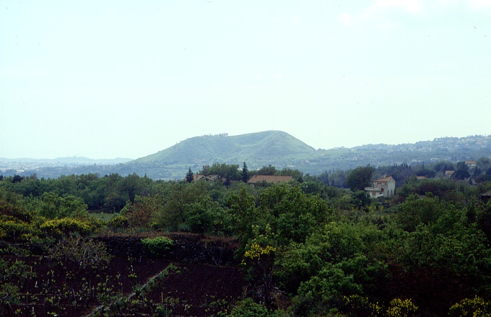 |
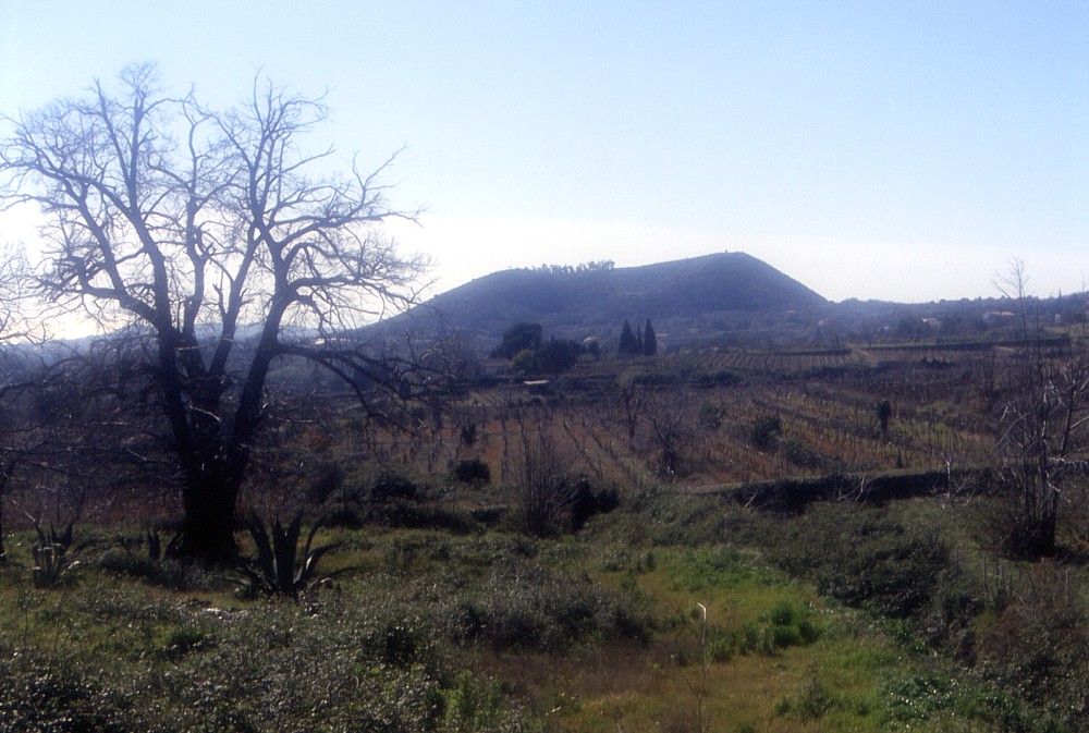
Distant
view of Monte Serra, taken from Monterosso, about 3.5 to the north,
on 1 May 1997. In this perspective the crater of that cone is
open toward the observer; presumably lava flowed out through the
gap in the near rim of the crater. Behind the cone to the left
lies the village of Viagrande, and numerous buildings on the slope
to the right belong to the village of Trecastagni |
Mamma
Etna's countless children
Monte Serra
SE flank, 15.092245° E, 37.617684° N
summit elevation: 559 m (SW rim of crater)
![]()
Located
in a densely populated area low on the southeast flank of Mount Etna,
Monte Serra is a youthful, horseshoe-shaped pyroclastic cone that is now
a public park of the nearby town of Viagrande. The height of the cone
above its base ranges from about 60 m on the west side to more than 130
m on the southeast side; it has a crater about 250 m in diameter and open
to the northeast. Some sources attribute the formation of this cone to
an eruption in 122 B.C. but the eruption of that year is now known to
have been a Plinian (i.e. highly explosive) summit eruption. The exact
date of the formation of Monte Serra is thus not constrained, but it is
plausible that it occurred in Roman time, about 2000 years ago. On the
southeast base of Monte Serra lies the village of Viagrande, and little
more than 1 km to the west lies the village of Trecastagni, both with
picturesque historical centers and nice churches in baroque architecture.
No lava flow has been clearly associated with the alleged Monte Serra
eruption in 122 B.C. on the 1979 Geological Map of Etna, but several lava
flows extend from that cone to the southeast, passing close to the town
of Acireale.
Monte Serra can be easily reached by car, and a short walk around the
western base of the cone leads to a steep stairway that eventually arrives
on the northwestern crater rim. From here the visitor enjoys panoramic
views over the numerous other cones that dot the southeast flank of Etna
Like Mompilieri near Nicolosi, Monte
Serra is one of the latest flank cones of Etna to be visited and photographed
by myself: after passing many dozens of times within a few hundred meters
of it, I finally climbed it on 26 February 2004.
 |
 |
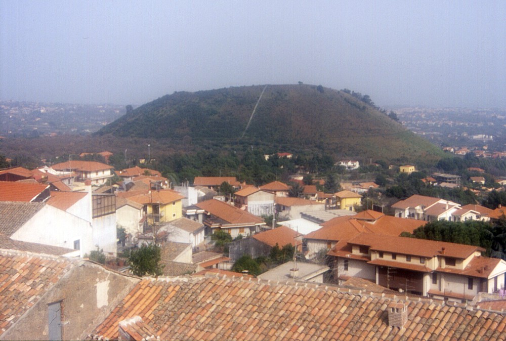 |
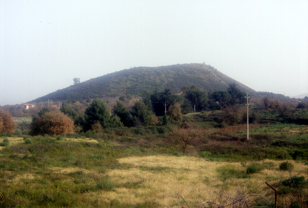
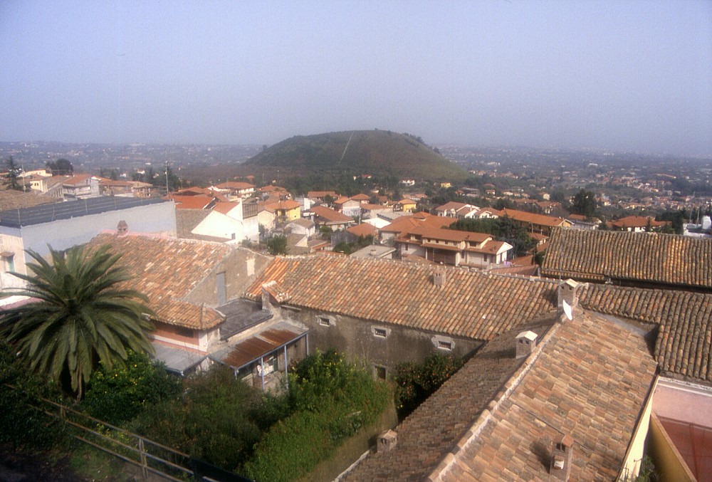
Left:
Monte Serra seen from northwest (road between Trecastagni and
Monterosso), showing slightly irregular outline of the cone when
seen from this direction. Photo taken 26 February 2004 Center and right: looking across the roofs of Trecastagni toward the green cone of Monte Serra. This view is from due west and the cone appears more symmetrical. Photos taken 26 February 2004 |
||
 |
 |
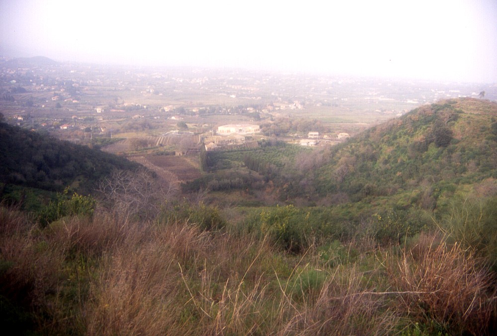 |
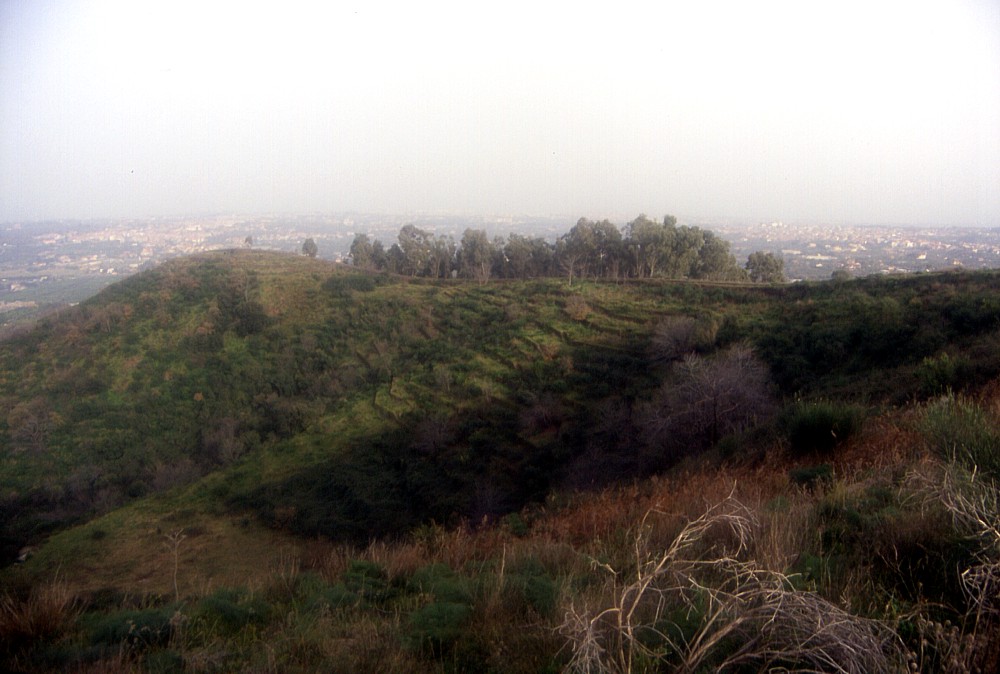
Left:
view of Monte Serra from an area of vineyards and fruit gardens
to the north. Photo taken 4 March 2004 Center: eastern inner crater wall of Monte Serra seen from the western crater rim on the late afternoon of 26 February 2004 Right: a view down into the crater of Monte Serra from its south rim, 26 February 2004 |
||
Copyright © Boris Behncke, "Italy's Volcanoes: The Cradle of Volcanology"
Page set up on 29 February 2004, last modified on 11 March 2004