|
Although
I began to stay nearly continuously in Catania in January 1997,
I started visiting Etna regularly only in mid-June of that year,
because much of the earlier months were spent looking for an apartment
in the city and sustaining the exams for being admitted to the PhD
course at the University of Catania. However, from mid-June onward,
I visited the summit craters of the volcano frequently and had the
chance, for the first time, to watch eruptive activity close-up.
The protagonist was the Southeast Crater, active since November
1996, whose mild Strombolian activity and small lava flows provided
a beautiful display easy to watch. Some eruptive activity, at times
quite vigorous, also occurred at the Bocca Nuova, the Voragine,
and at the Northeast Crater. July-August 1997 marked the first period
when all four summit craters were active at the same time. And yet,
much more impressive activity was to occur during the following
years.
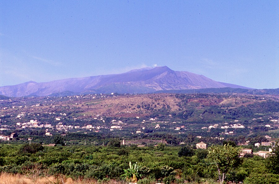
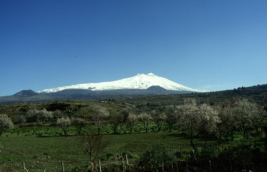
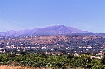
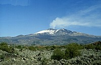
The first of two pages with photographs taken in 1997 shows how
different Etna looks when viewed from different points, and how
incredibly complex it is. Most of these images were taken before
I definitely moved to Catania, between February and June 1997. The
photographs of the eruptive activity in 1997 is shown on the second
page. |
Etna's
countless faces, seen from many sides
|
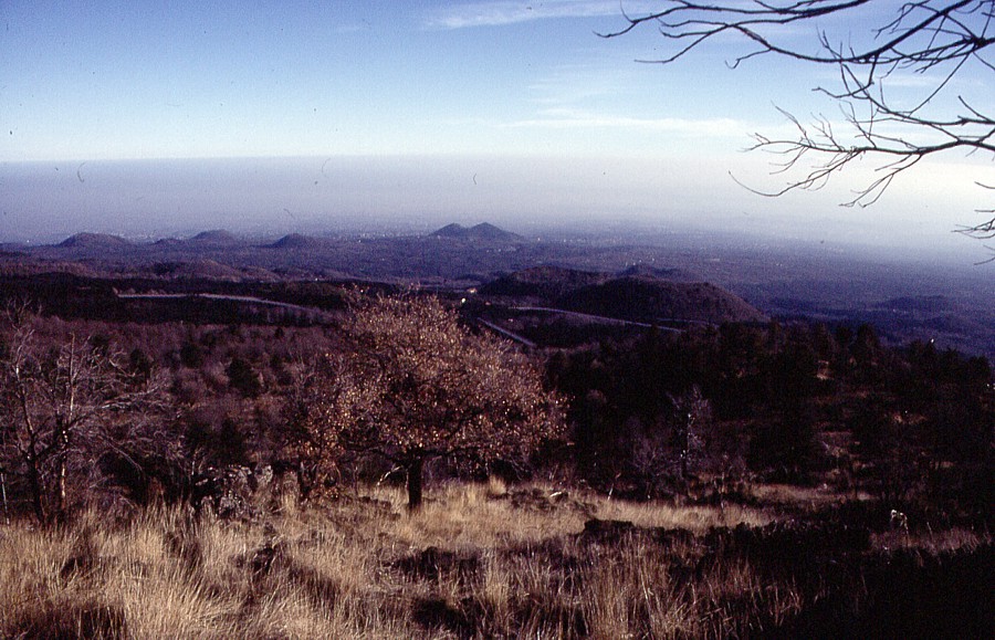
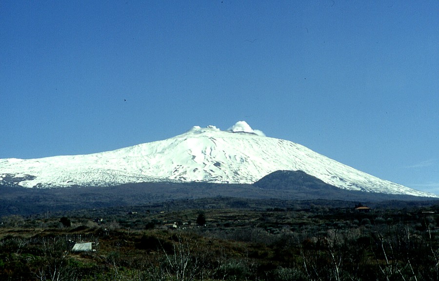
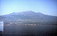
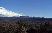
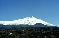
| Panoramic
view of Etna from northeast in August 1997, showing the
broad cone of the Northeast Crater at the summit, and wisps
of white gas coming from the Voragine and the Bocca Nuova,
which lie behind that cone. Peak at extreme left is the
Montagnola, a flank cone formed during an eruption in 1763 |
|
|
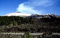
The
southwestern flank of Etna, seen in February 1997. The lava
flow in the foreground (note columnar jointing exposed due
to quarrying) was erupted in 1669 from the large dark pyroclastic
cone that can be seen on the flank of the volcano at right
(Monti Rossi, near 900 m elevation next to the town of Nicolosi).
|
 |
|
 |
 |
|
 |
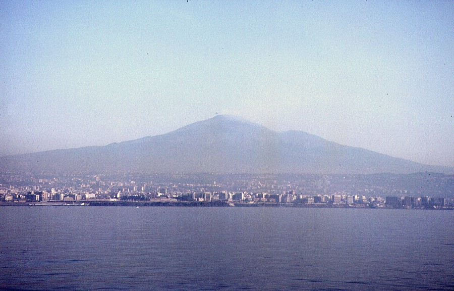
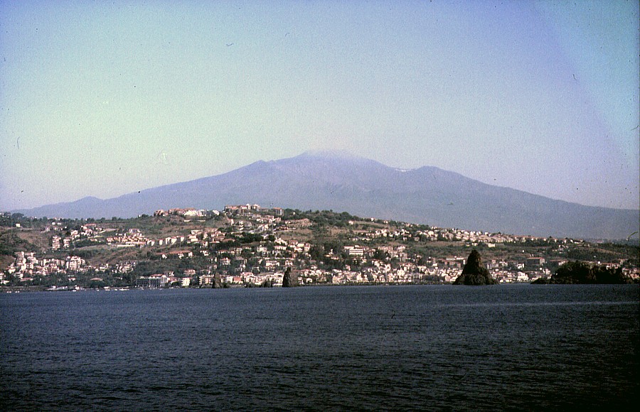
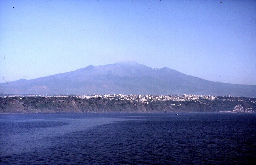
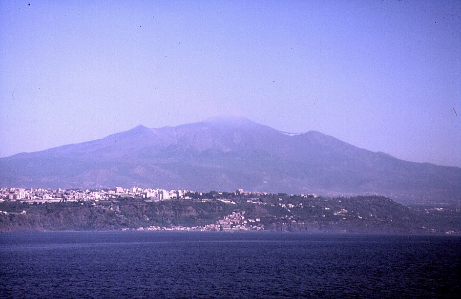
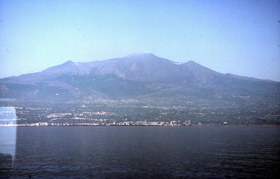
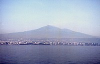
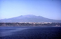
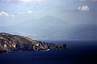
| During
the summer of 1997, there was a unique chance to see Etna
in all its grandeur from the Ionian sea off the eastern
coast of Sicily. A regular hydrofoil service from Catania
to Lipari was provided by a company which unfortunately
was functional only for a few weeks, but on a few occasions
I profited from this opportunity and on 15 June 1997 had
exceptionally clear weather, which permitted to take the
series of photographs above. The upper row shows, from left
to right, (a) Etna with the city of Catania in the foreground,
(b) the "Riviera dei Ciclopi" of Acitrezza (note
the rocky islands in front of the coast at right), (c) the
"Timpa di Acireale", which is actually the steep
scarp of an active fault. The same fault scarp, with the
town of Acireale sitting on top of its crest, is also seen
in the first two photographs of the lower row. Photograph
at right in lower row shows Etna's eastern flank with the
enormous Valle del Bove and the two "shoulders"
constituted by the Montagnola (left) and the Pizzi Deneri
(right), with the Giarre-Riposto area in the foreground |
 |
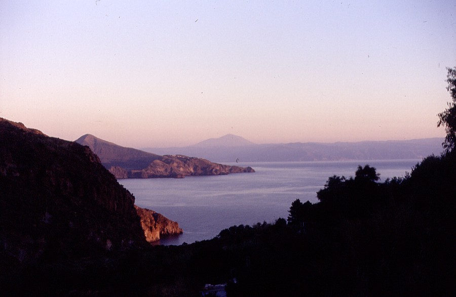
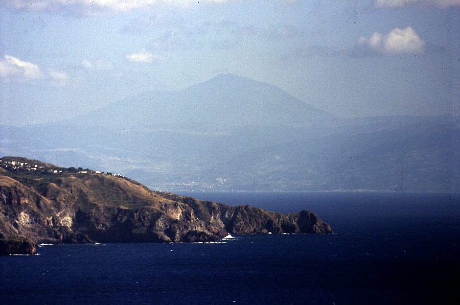
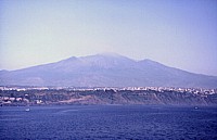
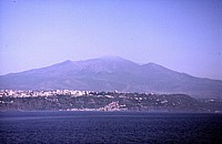
The
bulky cone of Etna is seen in these two photographs from
the island of Lipari (Aeolian Islands), more than 100 km
to the north, in late June-early July 1997. Photograph at
left is a wide-angle view taken at sunrise, right image
is a daylight zoom on the volcano, with a portion of Vulcano
island in the foreground |
 |
|
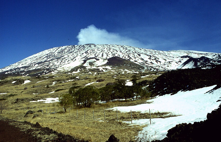
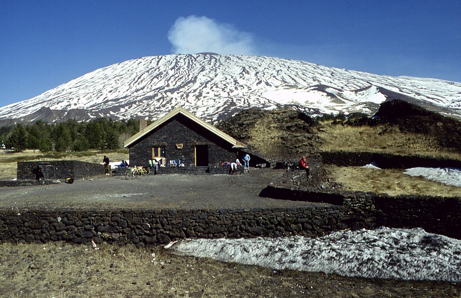
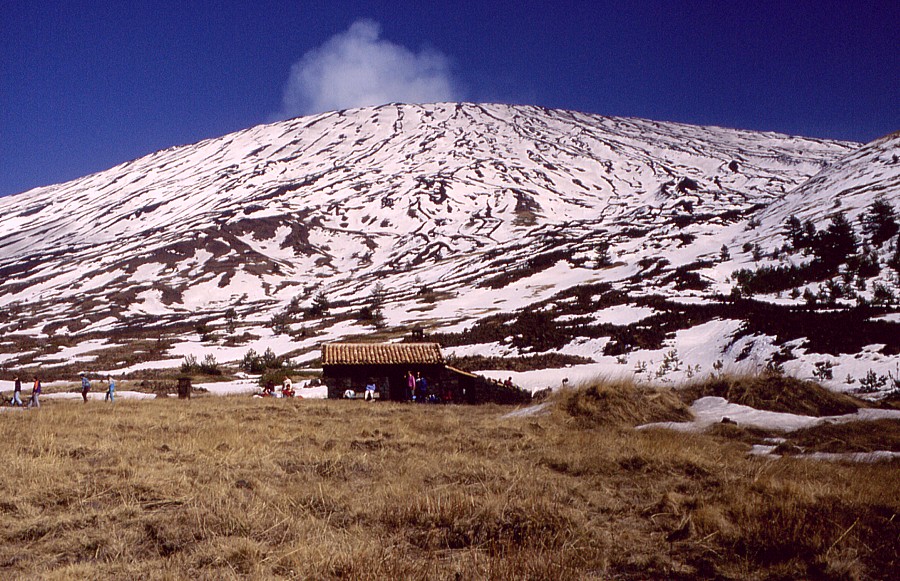
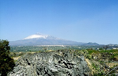
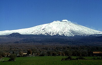
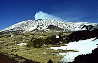
| Snow-covered
Etna seen from northwest in mid-February 1997, from road
between the towns of Bronte and Maletto. A white steam plume
is fed from the Bocca Nuova at the summit. The large pyroclastic
cone at left is Monte Maletto, one of Etna's more than 300
flank craters; it formed during an eruption in prehistoric
time and now is densely forested |
 |
Left:
Etna's upper south flank seen from near the town of Nicolosi,
February 1997, with 1886 lava flow in foreground
Right: pyroclastic cones on the southern flank of Etna,
seen from the "Grande Albergo" at about 1750 m
elevation. Large twin-peaked cone in center is Monti Rossi,
site of a large eruption in 1669 |
 |
 |
Left:
the upper southwestern flank of Etna seen from the "Grande
Albergo" in February 1997. Peak at right is the Montagnola
Right: winter landscape on Etna's southwestern flank (about
1700 m elevation), about 3 km west of the "Grande Albergo",
February 1997 |
 |
 |
Left:
big mamma Etna and its "baby volcanoes". This
is the western flank of the volcano, seen from north, which
has numerous cones from flank eruptions, February 1997
Right: northwestern flank of Etna in February 1997 with
the large flank cones of Monte Maletto (center right) and
Monte Spagnolo (left) |
 |
 |
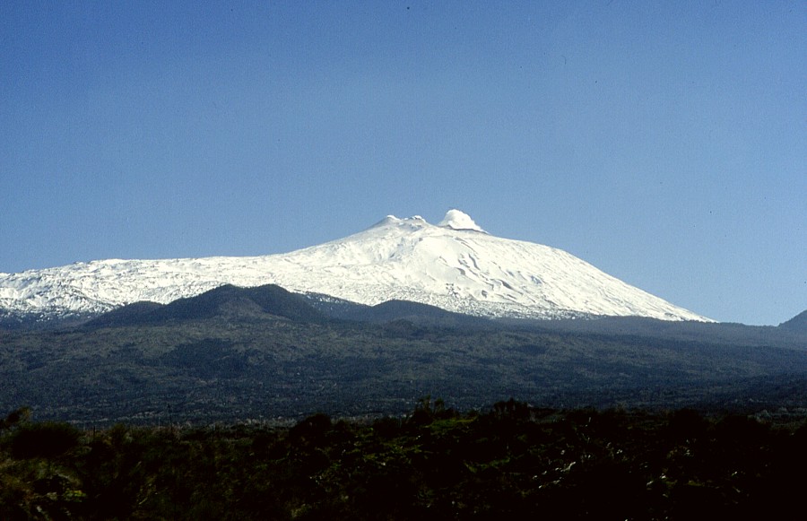
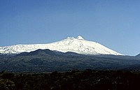
Left:
northwestern flank of Etna with large cone of Monte Maletto,
February 1997
Right: still further north, seen from Randazzo, with the
prehistoric complex cone of Monte Spagnolo. The twin-peaked
cone at the summit is the Northeast Crater, white gas plume
comes from the Bocca Nuova |
 |
|
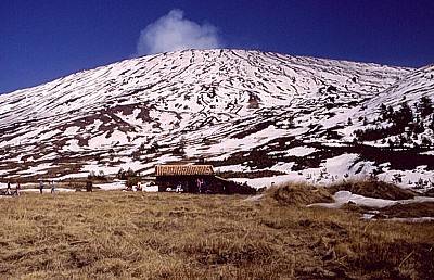
| One
of the most spectacular hikes one can do at Etna is the
great round trip on the "Forestale" (forest guard)
road, which goes all the way round the western flank from
near the "Grande Albergo" to the southwest to
the "Ragabo" mountain hut to the northeast. This
can be done walking (3 full days) or by mountain bike (1
day). In mid-February I did a part of the tour on mountain
bike. The two photographs above are from that trip and show
two of the unmanned mountain huts that offer shelter to
hikers, the "Rifugio della Galvarina" (top) and
the "Rifugio Monte Palestra" (bottom) |
|
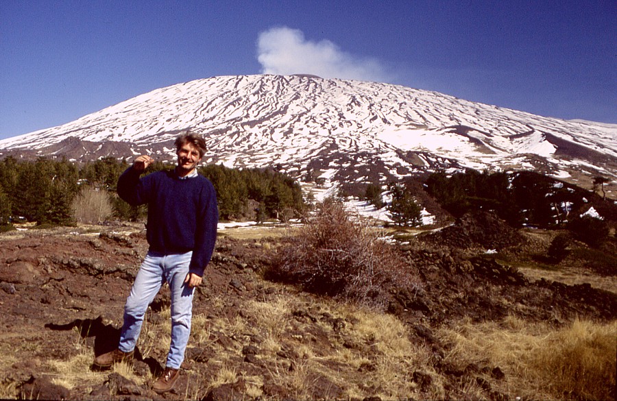
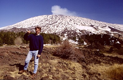
| That's
me standing in front of the massive, snow-covered western
flank of Etna, near the "Monte Palestra" mountain
hut, one beautiful sunny day in February 1997. Photograph
was taken by geologist Carmelo Monaco of the University
of Catania, who was with me on the mountain bike tour and
kindly provided the bikes |
Going
up the southern flank of Etna, June-July 1997
 |
|
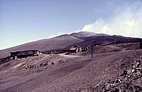 |
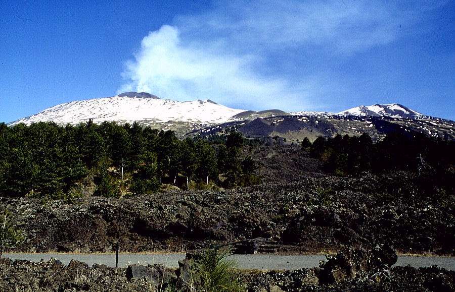
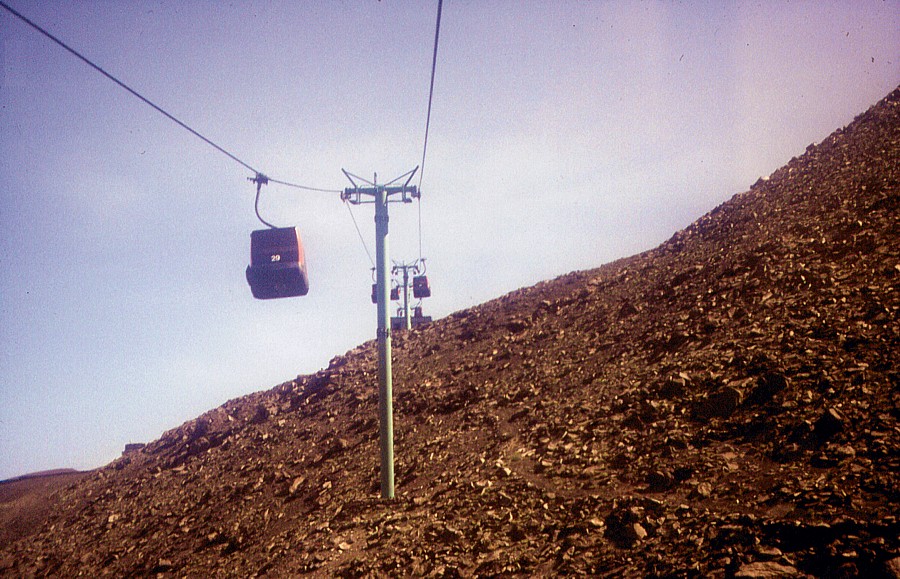
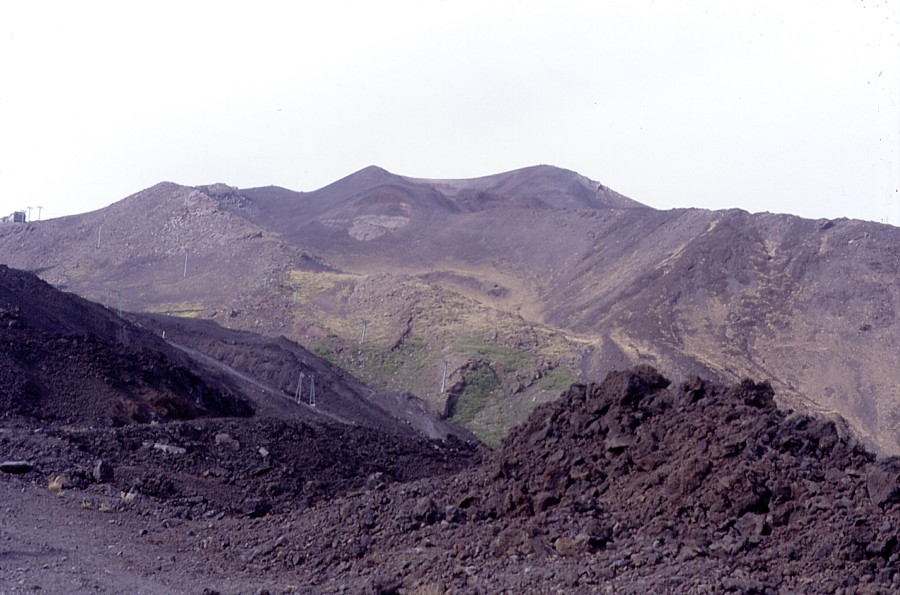
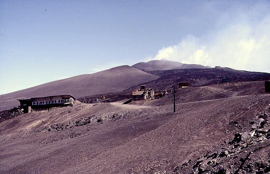
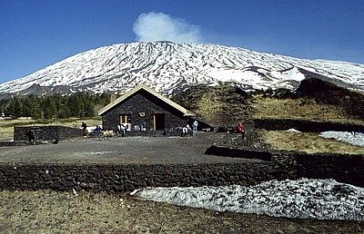
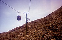
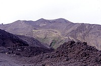
| This
is a series of historical photographs, showing an area that
has dramatically changed since they were taken in the summer
of 1997. Left image shows the Etna cable car (version 3,
built in 1990 and destroyed in 2001), seen from one of its
cabins, about half way up the distance between the departure
and arrival stations, on 14 June 1997. Middle image shows
the Montagnola, a huge pyroclastic cone formed during an
exceptionally explosive flank eruption in 1763, and lava
fields of 1983 and 1985 in the foreground, partially transformed
into a large ski track that was buried under lava in 2001
and 2002-2003. Right photograph shows what one would see
immediately after leaving the arrival station of the cable
car when looking in the direction of Etna's summit. The
ruined building at left is the "Piccolo Rifugio"
(little mountain hut), which was ripped apart by the eruptive
fissure of 1983, and again by the fissure of the 1985 eruption
that occurred in nearly the same place. The other destroyed
building in the center of the image is the central station
of the first cable car ever built on Etna (the arrival station
lay at the base of the central summit cone, at nearly 3000
m elevation) and destroyed during the 1971 eruption. The
broad cone that partially hides the summit crater complex
in left center is Monte Frumento Supino, a prehistoric pyroclastic
cone. The building that can be seen at the right skyline,
very close to the summit craters, is the Torre del Filosofo
mountain hut, at about 2900 m elevation. The same view from
the same spot is now completely different |
|
|