
| Etna
index |
||
| Geology | Geological history | Cones and craters |
| Eruptive characteristics | Eruptions before 1971 | Eruptions since 1971 |
| Etna and Man | References | Web sites |
| Weather forecasts | FAQ | Latest news |
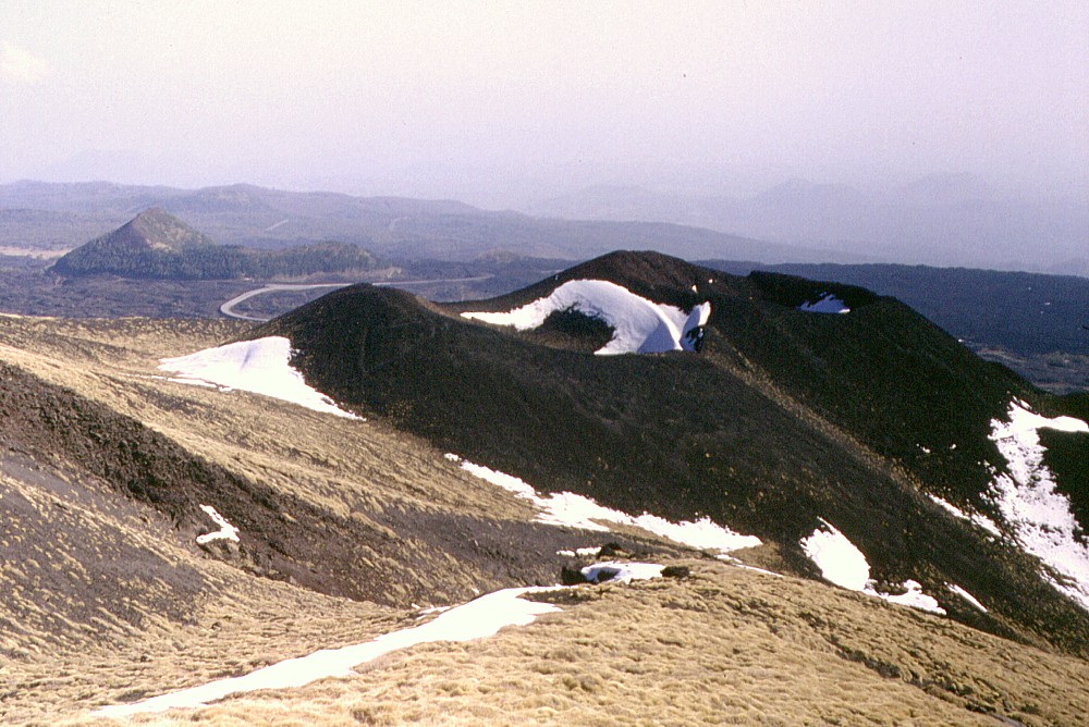 |
Two
black cones sitting on the lower southeastern slope of the Montagnola:
the Monti Calcarazzi, produced during a large flank eruption in
1766. This photograph, taken on 18 February 1998 and looking SE,
shows patches of snow lying in the craters and at the base of
the cones. The peculiarly shaped cone in the background is Monte
Serra Pizzuta Calvarina, and two other flank cones (Monte Arso
and Mompilieri) can be faintly seen in right distance. Interestingly,
this photograph was taken exactly from the spot where on 18 July
2001 an eruptive fissure would open and emit a lava flow that
would advance menacingly in the direction of the town of Nicolosi.
However, the lava flow emitted during the 1766 eruption at the
Monti Calcarazzi was much more voluminous and came much closer
to Nicolosi |
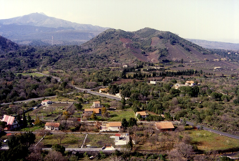
Mamma
Etna's countless children
Monti Calcarazzi (1766 eruption)
S flank, 15.00833° E, 37.70532° N
Summit elevation: 2064 m
![]()
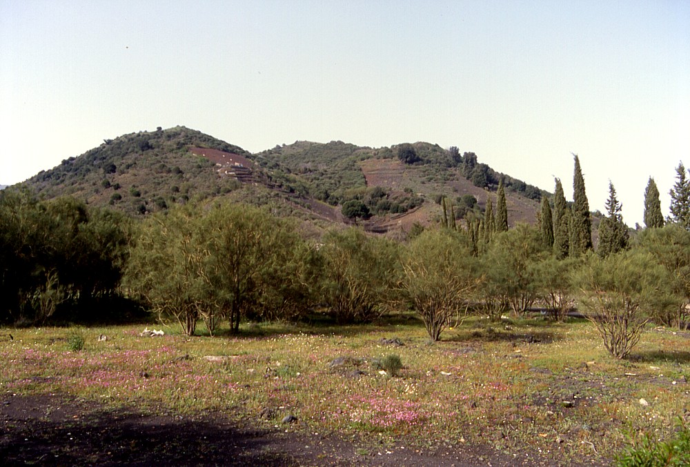
Formed
during a large flank eruption that lasted from 17 April until 6 November
1766, the Monti Calcarazzi are much less conspicuous and less known than
the nearby Monti Silvestri, formed in 1892. They lie a little bit upslope
from the latter, with the highest point at 2064 m elevation, and form
two coalescing cones with as many craters aligned north-south. The southern
base of the cones lies at about 1990 m elevation, while on its northern
side it is at 2055 m, only about 10 m below the summit.
The Monti Calcarazzi came into marginal limelight in the summer of 2001
when less than 500 m away a new fissure opened, which attracted worldwide
media interest and was seen in television nearly round the hour over a
period of about three weeks. To the more adventurous (or rather say reckless?)
of the spectators of that event, the Monti Calcarazzi provided a most
spectacular view of the erupting new vents, where a new cone was built.
This new cone, however, reached only very minor dimensions compared to
the nearby, silent Monti Calcarazzi and still much larger Monti Silvestri
further downslope.
In spite of many visits to the area of the Monti Calcarazzi (and many
times that I passed less than 100 m away), I have not climbed them so
far (as of December 2003).
 |
 |
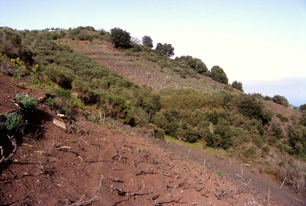 |
Left:
a view of Monte Arso from the summit of Mompeloso,
1.3 km to the SSW, with Etna's main edifice in the background, and
the eastern slope of Monte Gervasi
at the extreme left. Monte Gervasi was the site of the second most
recent eruption in the Nicolosi area, sometime between A.D. 252
(or 253) and 1669 Center: Southern face of Monte Arso, seen from about 0.9 km distance from its summit Right: vineyards cover much of the southern flank of Monte Arso, and intense agricultural activity since many centuries masks the rim of a small half-cone (in right foreground) leaning on the lower southern flank of the main cone. A larger crater occupies the area between the viewing point and the tree-dotted crest in the background |
||
Copyright © Boris Behncke, "Italy's Volcanoes: The Cradle of Volcanology"
Page set up on 14 December 2003